A snake map made for the people who live with them.
Every spring, local Facebook groups fill up with blurry snake photos. Posts get buried within hours, nobody knows exactly where the snake was, and it's hard to tell who to call. Coil puts every sighting on one map, with photos where people took them, a species suggestion and a way to reach a licensed catcher.
How Coil works
Someone spots a snake
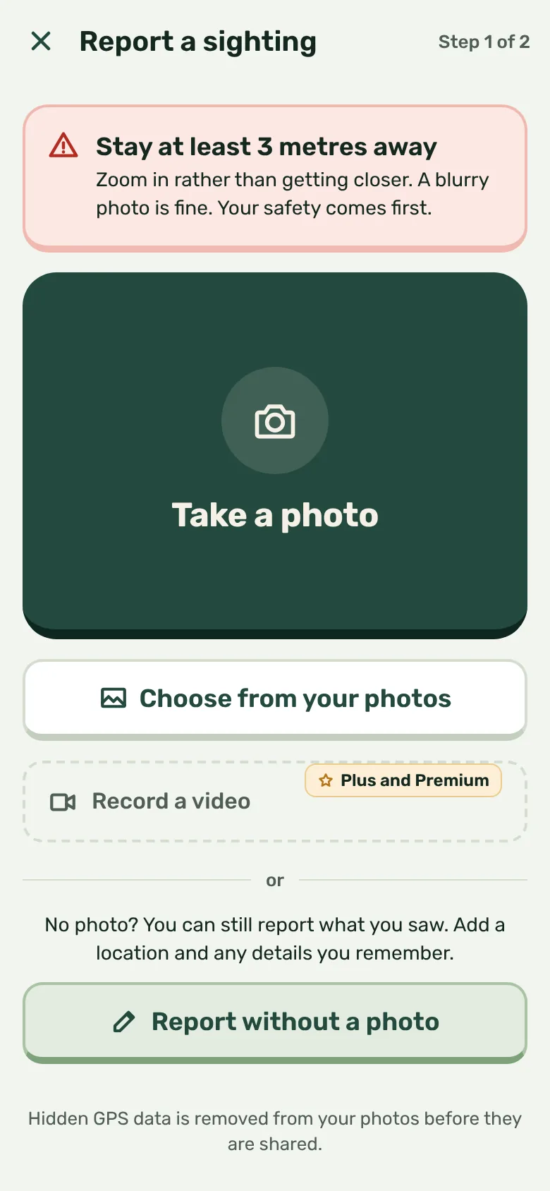
They photograph it from well back, or report it without a photo, and drop a pin where they saw it.
The AI takes a first look
If there's a photo, Coil suggests a species within seconds from the snakes found in your region, and colours the pin. If it can't rule out a venomous snake, the pin goes red. Reports without a photo are labelled Unverified sighting.
Neighbours see it
People nearby see an approximate pin, any photos and how long ago it was reported, and can add what they've seen too.
A licensed handler steps in
Verified handlers can confirm the species, mark that they're on the way, or clear the sighting once the snake is relocated.
Honest about the risk
Coil never tells you a snake is safe. AI can be wrong, so only a licensed handler can turn a pin green. Snakebite first aid is free for everyone and works without internet.
Private by design
Your exact pin is only visible to you. Everyone else sees an approximate spot, and the GPS data in your photos and videos is removed before they're shared.
Snakes matter too
Native snakes are protected right across Australia. Coil helps people keep their distance and call a licensed catcher, so snakes get relocated rather than killed.
Built for all of Australia
Snakes turn up in backyards, sheds, parks and creek paths right across the country, from brown snakes in the suburbs to tiger snakes in the south and taipans in the north. Coil is for everyone who lives alongside them, and we're signing up licensed snake catchers in every state and territory.
The free beta opens on iPhone first. Android will follow once the beta has shaped what Coil needs to be.